Tazzarte
Harder Kulm Panorama: Swiss Alps, 1918 – Porcelain Art Mug
Harder Kulm Panorama: Swiss Alps, 1918 – Porcelain Art Mug
Couldn't load pickup availability
- ✓ Free worldwide shipping
- ✓ 30-day returns
- ✓ Damaged? Free replacement, no return needed
- ✓ Printed and shipped from the hub nearest you — no customs, no long wait
The price you see is the price you pay — taxes included, nothing added at checkout. Shipping · Returns · Help
Share
Swiss Alps, 1918
Harder Kulm rises to 1,322 metres directly above Interlaken, and since the funicular opened in 1908 its terrace has offered the most efficient view in the Bernese Oberland: Eiger, Mönch and Jungfrau aligned across the valley, Lake Thun and Lake Brienz to either side. This card translates that view into the visual language of its period — a hand-coloured bird's-eye drawing rather than a photograph, with every summit, hamlet, glacier and railway station lettered onto the image itself.
The type belongs to a Swiss speciality: the panorama card, half landscape and half map, made for a tourism that expected its visitors to know what they were looking at. Altitudes stand beside each peak in the values then current — Jungfrau 4166, Mönch 4105, Eiger 3975 — and the valley is drawn with the Lauterbrunnen and Grindelwald branches clearly separated, so that a traveller could plan the next day's excursion from the card alone. Wengen, Mürren, Kleine Scheidegg and the Schynige Platte all appear by name. It is a document of how the Oberland wished to be seen, and it has aged into a portrait of the Alpine tourism that built it.
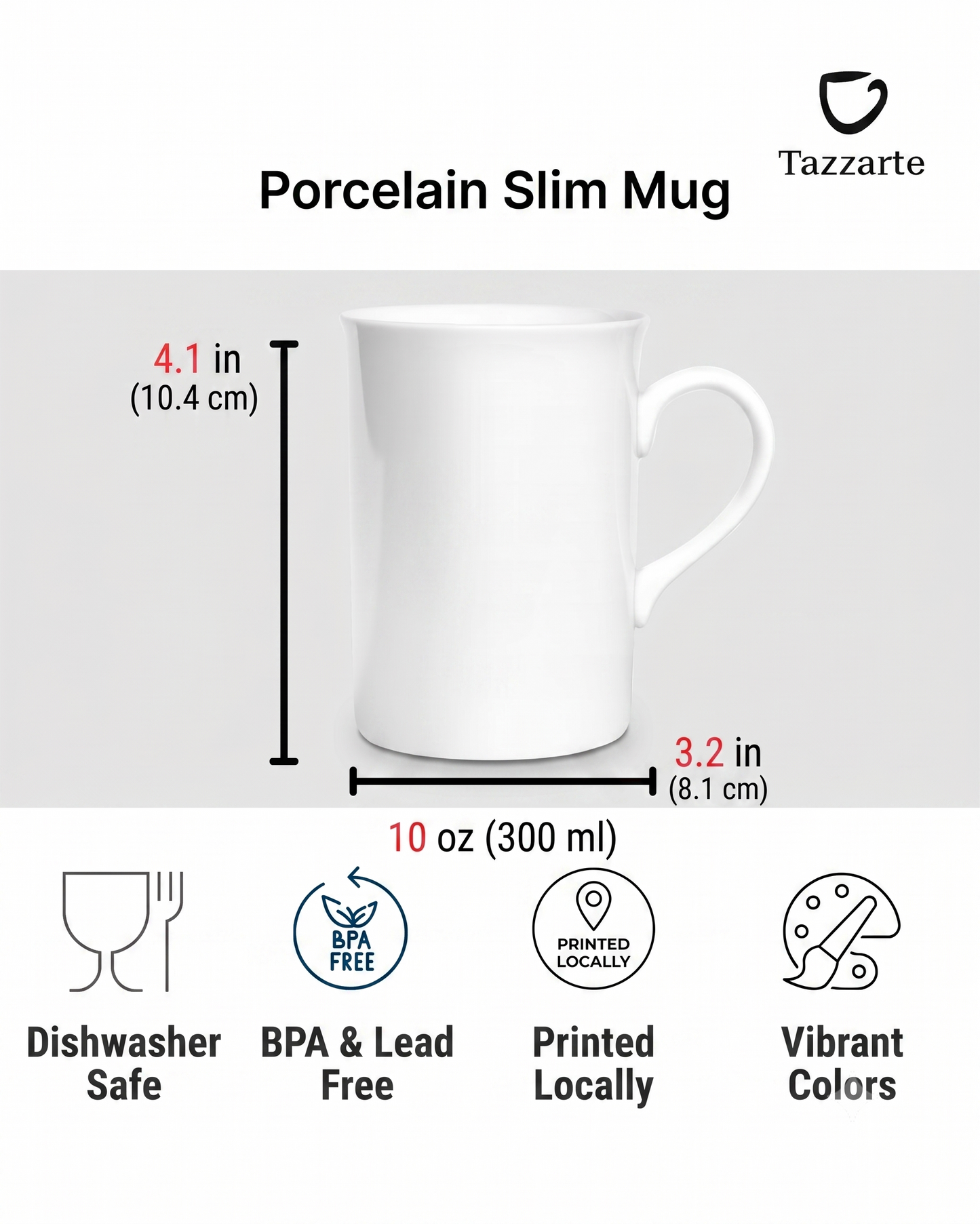
Fine porcelain, 10 oz — 104 mm high, 75 mm across the base. The image runs around the body; handle and rim stay white. Dishwasher and microwave safe.
Panorama card no. 3637, Berner-Oberland mit Harderkulm (1325 m), 1918. Artist and publisher unrecorded. Scanned from an original card in the publisher's own collection. Public domain.
Selected by Dr. Walther Fuchs for the Tazzarte collection.